Themed walks
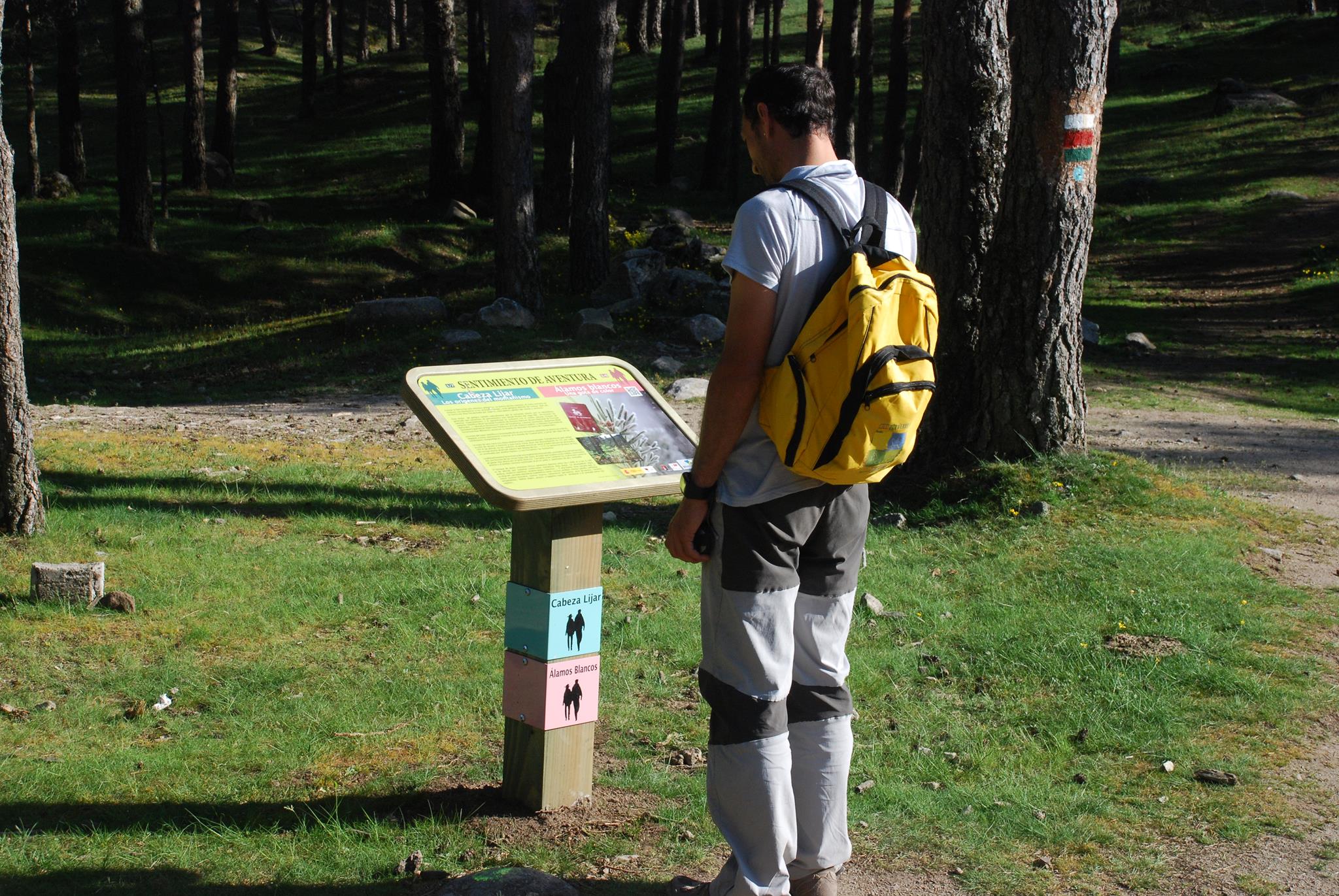
Cabeza Lijar
The origins of mountaineering.
Duration: 4 h
Difficulty: Medium-high
Minimum height: 1508
Maximum height: 1812
Departure: Puerto del León
Álamos blancos
A splash of colour.
Duration: 3 h
Difficulty: Medium
Minimum height: 1422
Maximum height: 1533
Departure: Puerto del León
Arcipreste de hita
Guadarrama in literature.
Livestock trails
In the footsteps of cowherds and shepherds.
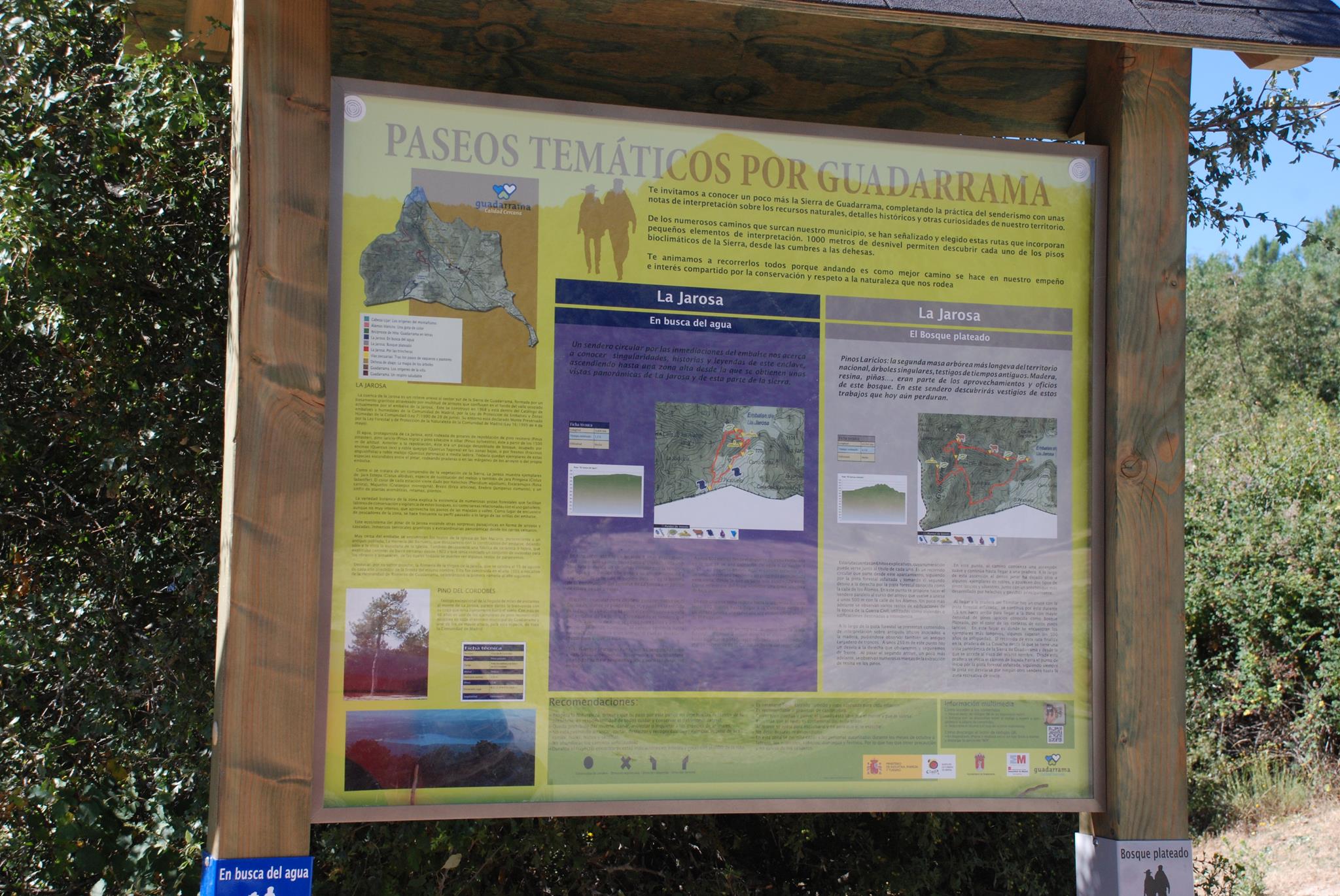
Along the trenches
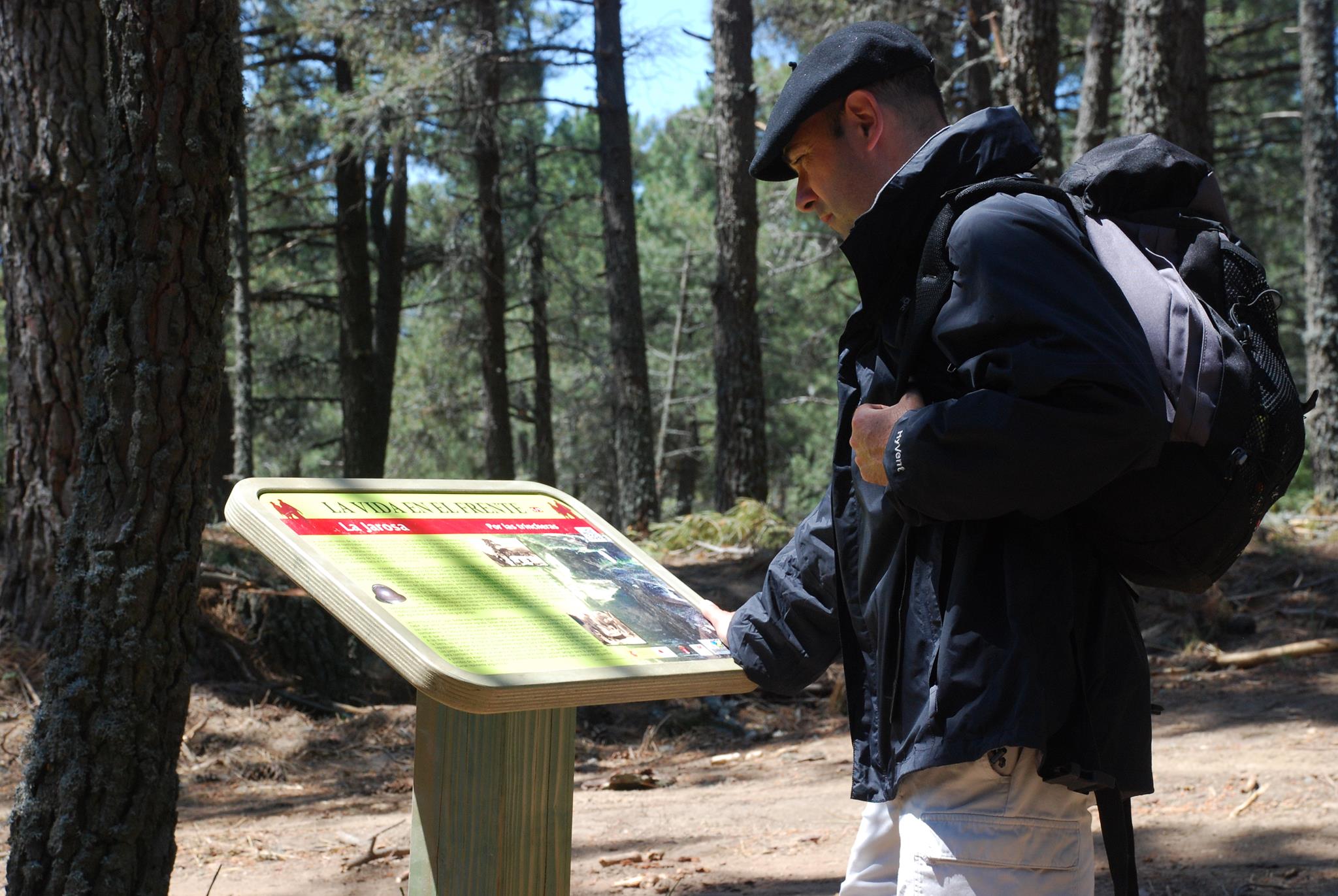
La Jarosa (I).
On this route there are a total of five explanatory milestones, the numbering of which can be seen next to the title of each one. A circular promenade is proposed, following the route marked by the old water path, to reach an area in which remains of fortifications from the Civil War are conserved. This highlights a little known part of the historical heritage of Guadarrama, and clearly illustrates what it meant to live life on this front during the years of the war.
Silver forest
La Jarosa (II).
This route has 6 explanatory milestones, the numbering of which can be seen next to the title of each one. It is a circular route that starts from La Jarosa II car park, following the asphalted forest track and taking the second detour to the right along the forest track known as Calle de los Álamos.
In search of water
La Jarosa (III).
On this route there are a total of 6 explanatory milestones, whose numbering can be seen next to the title of each one. This water-themed circular route explores the landscape created to store and collect it.
A healthy breath of air
The Alameda promenade.
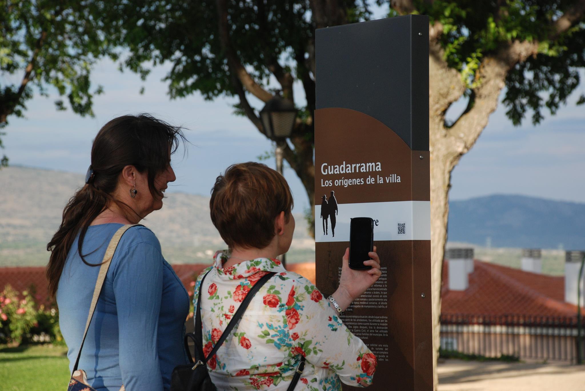
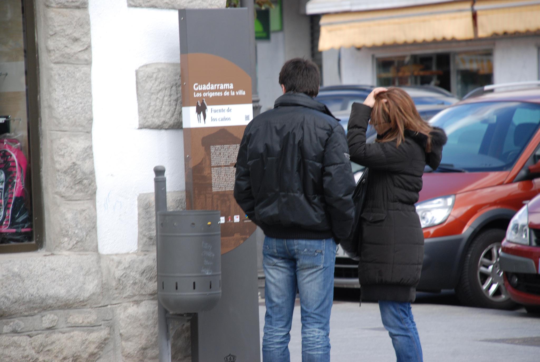
Origins of the town
Guadarrama.
A crossroads and passage between the plateaus, Guadarrama became a strategic place, where kings, nobility, merchants and travellers restored their strength during the difficult ascent to the Sierra. The passage of history has left traces and testimony of its course. Let yourself be carried away by the history and heritage of this town.
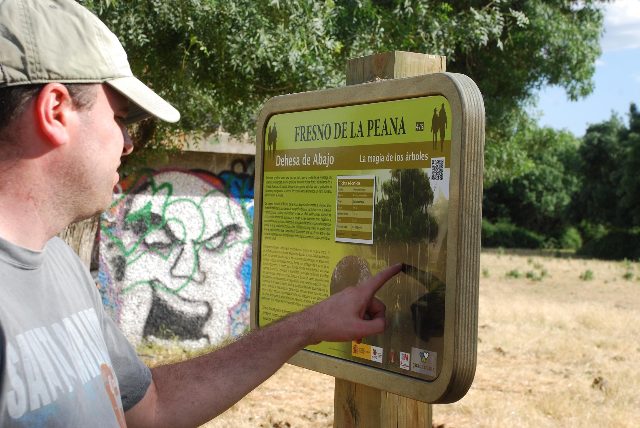
The magic of the trees
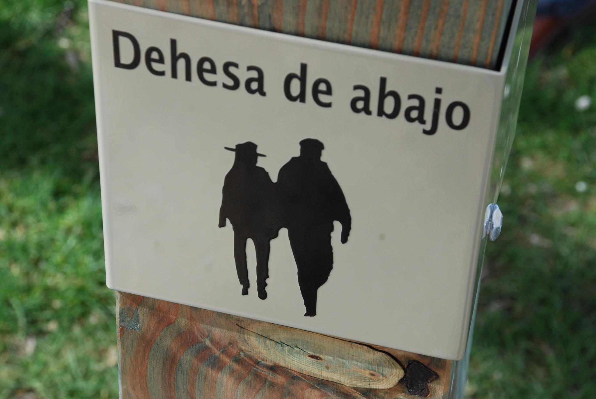
Dehesa from below.
On this route there are a total of 5 explanatory milestones, whose numbering can be seen next to the title of each one. This is a linear route of just 2 km, suitable for all audiences because it has no changes in level, which will allow you to discover some of the most significant examples of ash trees in Guadarrama and the Madrid Region.